about
free
exclusive
patterns
vector
microstock
premium
log in
sign up
about
free
exclusive
patterns
vector
microstock
premium
log in
sign up
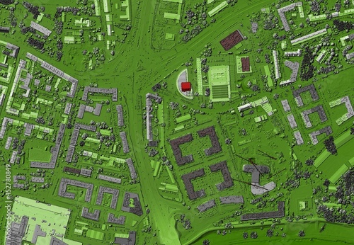
Digital elevation model. GIS product made after proccesing aerial pictures taken from a drone. It shows city urban area with roads and suburbs
Keywords:
grass
high angle view
architecture
aerial view
nature
airplane
farm
Select...
photo, drag here or paste
How to get an image URL
Right-click an image on the web and copy the image’s URL. Return to the search box and paste in the URL (Ctrl+V or Command+V).
By staying on our site, you agree to our use of cookies. Read more in the
cookie policy