about
free
exclusive
patterns
vector
microstock
premium
log in
sign up
about
free
exclusive
patterns
vector
microstock
premium
log in
sign up
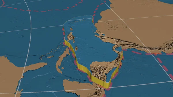
Caribbean tectonic plate enlarged, extruded and rotated to the west side the global grayscale elevation map in the Azimuthal Equidistant projection with dashed plates borders. 3D rendering
Keywords:
blue
world map
map
illustration
physical geography
topography
land
vector
cartography
Select...
photo, drag here or paste
How to get an image URL
Right-click an image on the web and copy the image’s URL. Return to the search box and paste in the URL (Ctrl+V or Command+V).
By staying on our site, you agree to our use of cookies. Read more in the
cookie policy