about
free
exclusive
patterns
vector
microstock
premium
log in
sign up
about
free
exclusive
patterns
vector
microstock
premium
log in
sign up
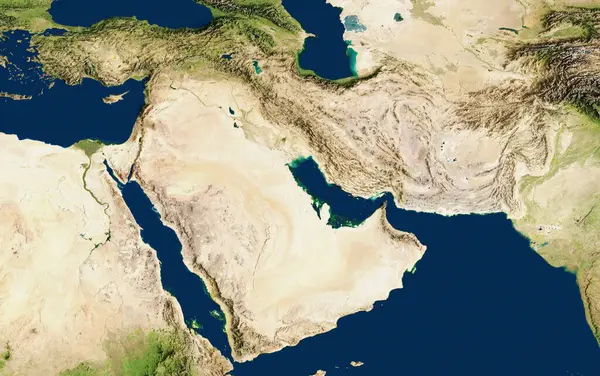
3D illustration of a highly detailed map of the Middle East. Satellite view. Improved lighting and shadows.
Keywords:
aerial view
computer graphic
digitally generated image
water
nature
space
map
orbiting
illustration
physical geography
satellite view
landscape
topography
design
cartography
planet
Select...
photo, drag here or paste
How to get an image URL
Right-click an image on the web and copy the image’s URL. Return to the search box and paste in the URL (Ctrl+V or Command+V).
By staying on our site, you agree to our use of cookies. Read more in the
cookie policy