about
free
exclusive
patterns
vector
microstock
premium
log in
sign up
about
free
exclusive
patterns
vector
microstock
premium
log in
sign up
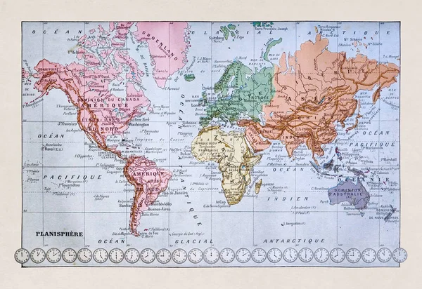
Old world map printed in the french dictionary "Dictionnaire complet illustre" by the editor Larousse in 1889. It depicts the world in the late 19th century.
Keywords:
longitude
no people
antique
travel destinations
navigational equipment
international border
obsolete
world map
country - geographic area
engraved image
map
topographic map
direction
travel
geographical locations
cultures
old
paper
illustration
physical geography
topography
history
old-fashioned
latitude
cartography
europe
retro styled
travel locations
maps retro
world map retro
map latitude longitude
old map
geographic map
map location
europe print
geographical locations
topographical map
world locations
editor illustration
topographic map illustration
french dictionary
french map
map world
world topographic map
world history
Select...
photo, drag here or paste
How to get an image URL
Right-click an image on the web and copy the image’s URL. Return to the search box and paste in the URL (Ctrl+V or Command+V).
By staying on our site, you agree to our use of cookies. Read more in the
cookie policy