about
free
exclusive
patterns
vector
microstock
premium
log in
sign up
about
free
exclusive
patterns
vector
microstock
premium
log in
sign up
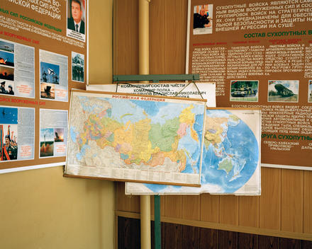
A Map Of The Russian Federation On Display In A Classroom At The Kovrov Military Training Camp. Russia’S Vast Territory Covers 17,075,200 Square Km And Is The Largest Country In The World (Approximately 1.8 Times The Size Of The Us).
Keywords:
education
world map
map
global
travel
cartography
russian map
map russia
russia map
us map
classroom cover
world maps
countries of the world
cover classroom
large size
maps russia
map cover
military camp
russia and us
russian education
maps of countries
maps federation
military education
Select...
photo, drag here or paste
How to get an image URL
Right-click an image on the web and copy the image’s URL. Return to the search box and paste in the URL (Ctrl+V or Command+V).
By staying on our site, you agree to our use of cookies. Read more in the
cookie policy