about
free
exclusive
patterns
vector
microstock
premium
log in
sign up
about
free
exclusive
patterns
vector
microstock
premium
log in
sign up
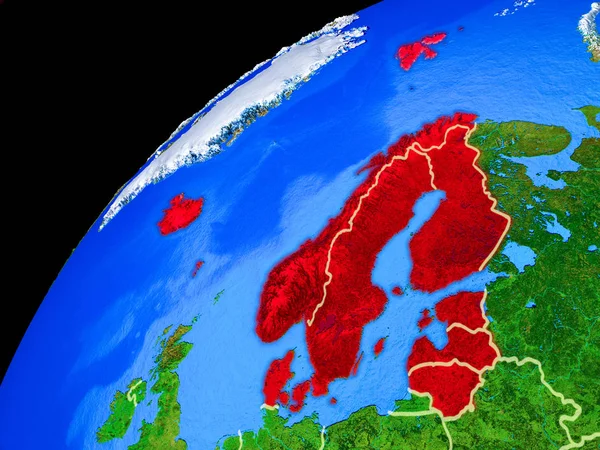
Northern Europe from space. Planet Earth with country borders and extremely high detail of planet surface. 3D illustration. Elements of this image furnished by NASA.
Keywords:
blue
world map
nature
space
map
environment
travel
illustration
physical geography
topography
land
cartography
africa
planet
africa countries
control borders
earth topography
space europe
border of europe
europe border
northern europe
geography lesson
world countries
africa border
northern region
northern africa
world map with countries
africa earth
down coat
africa country
europe country
map with point
earth image from satellite
map country
maps of countries
planet surface
surface planet
Select...
photo, drag here or paste
How to get an image URL
Right-click an image on the web and copy the image’s URL. Return to the search box and paste in the URL (Ctrl+V or Command+V).
By staying on our site, you agree to our use of cookies. Read more in the
cookie policy